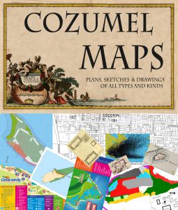
MAPS OF COZUMEL
Below are internal links to a variety of serious maps of Cozumel, charts of Cozumel waters, and plans of Cozumel; not the touristy schlock that is usually available on websites dealing with the island.
Here are maps of Cozumel’s bus routes, Mayan ruins, land-use, drainage patterns, vegetation, and lots more.
New maps are added regularly.
Click on any LINK below to see the map
Free Big Yellow Map of Cozumel
Map of the city on one side and map of the island on the other
Cozumel Colectivos Routes and Schedules
Ride all over town for almost free
Cozumel City Bus Routes and Schedules
Ride all over town for almost free
Zip Codes Map on Cozumel
Surprise! We have more then one
Map of the Colonias on Cozumel
A colonia is an officially recognized neighborhood
Map of Chankanaab National Park
Dolphins, sea lions, manatees, diving, snorkeling, restaurants, etc.
Map of Punta Sur Eco Park
Lighthouse, Navigation museum, Mayan ruins, crocodile observation towers, beach restaurants, snorkeling
Map of the Mayan Ruins on Cozumel
All 34 of them!
Color-enhanced map of Cozumel vegetation from space
Map of protected areas on Cozumel
RAMSAR map of protected areas on Cozumel
Map of the Northeast tip of Cozumel
Map of Northeast Cozumel marine protected area
Map of Quintana Roo protected areas
Map of Private Land on Cozumel
Map of the lots in Colonia Centro on Cozumel
POET map of land use on Cozumel
Map of hurricane shelters in San Miguel, Cozumel
Map of the flood-prone areas of San Miguel, Cozumel
Map of the Mayan archaeological site of San Gervasio
Map of the location of the SeaWall Project Murals
Map of Puerta Maya Pier on Cozumel
More to come…….